


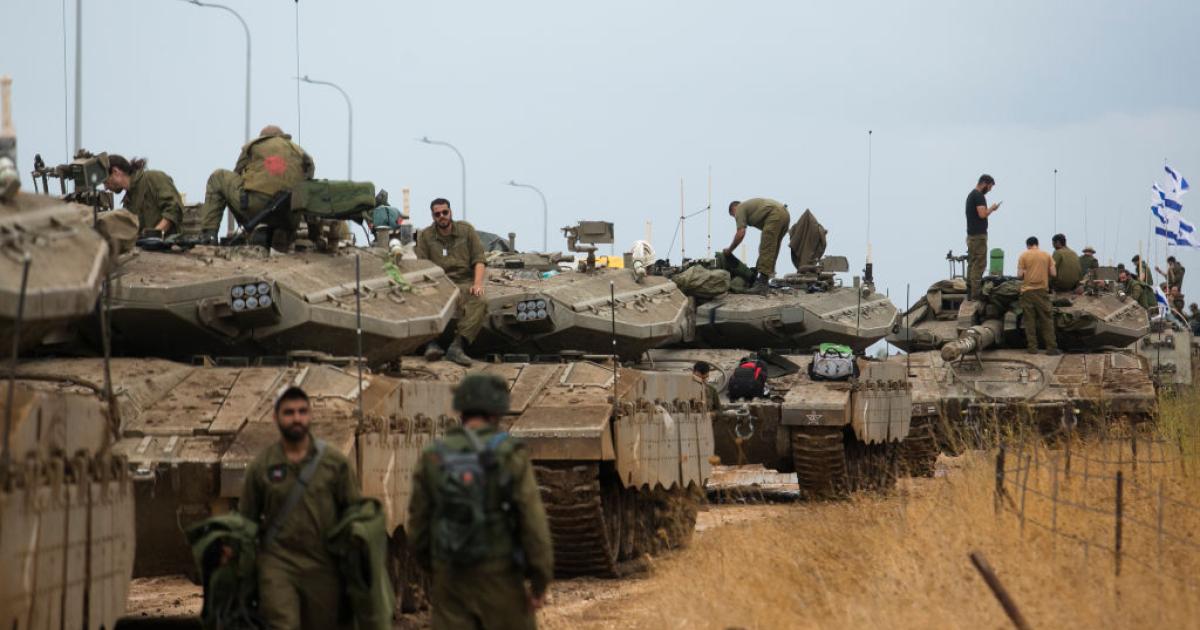
Israeli occupation forces continue to implement a systematic plan to expand their field control over the lands of the Gaza Strip, in what has become known as the 'Yellow Line'. These rapid movements have led to the seizure of about 70% of the total area of the Strip, which is 360 square kilometers, unprecedentedly tightening the noose on residents and displaced persons.
Field data indicate that the occupation, which controlled about 53% of the Strip's area in previous stages, has exceeded these percentages by annexing new neighborhoods and areas to the Yellow Line. This expansion has pushed tens of thousands of Palestinians towards a very narrow coastal strip, lacking the most basic necessities of life and suffering from massive overcrowding amid the faltering arrival of humanitarian aid.
In the northern part of the Strip, the Yellow Line extends from the western roundabout of Beit Lahia city eastward along Sheikh Zayed roundabout road, to include most of the city's neighborhoods except for the 'Al-Mashrou'' area and the vicinity of Al-Qassam Mosque. Displaced families in those remaining pockets move with extreme caution, due to their direct exposure to the fire control of the occupation army, which also besieges Izbat Beit Hanoun.
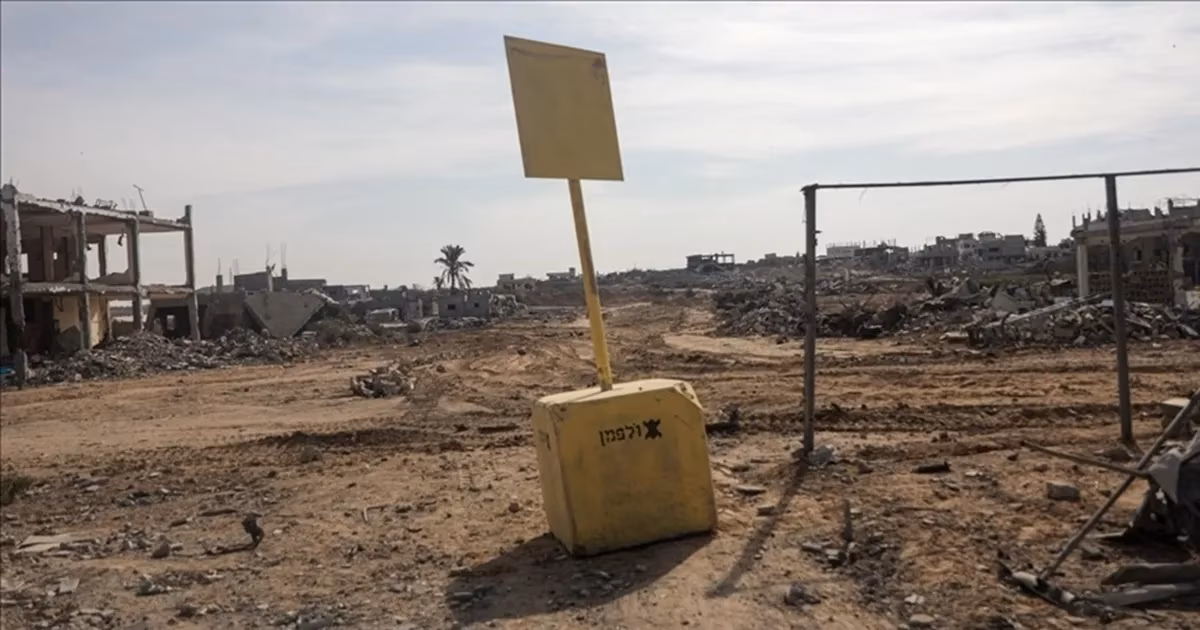
The Yellow Line penetrated deep into Jabalia refugee camp, passing Salah al-Din Street and Al-Sikka Street to reach the central Al-Houja and Al-Tarns areas. Jabalia البلد (Jabalia Town) was also divided into two parts, with the line extending south to the outskirts of Al-Tuffah and Al-Shuja'iyya neighborhoods, with yellow cubes marking permanent Israeli control points in those vital areas.
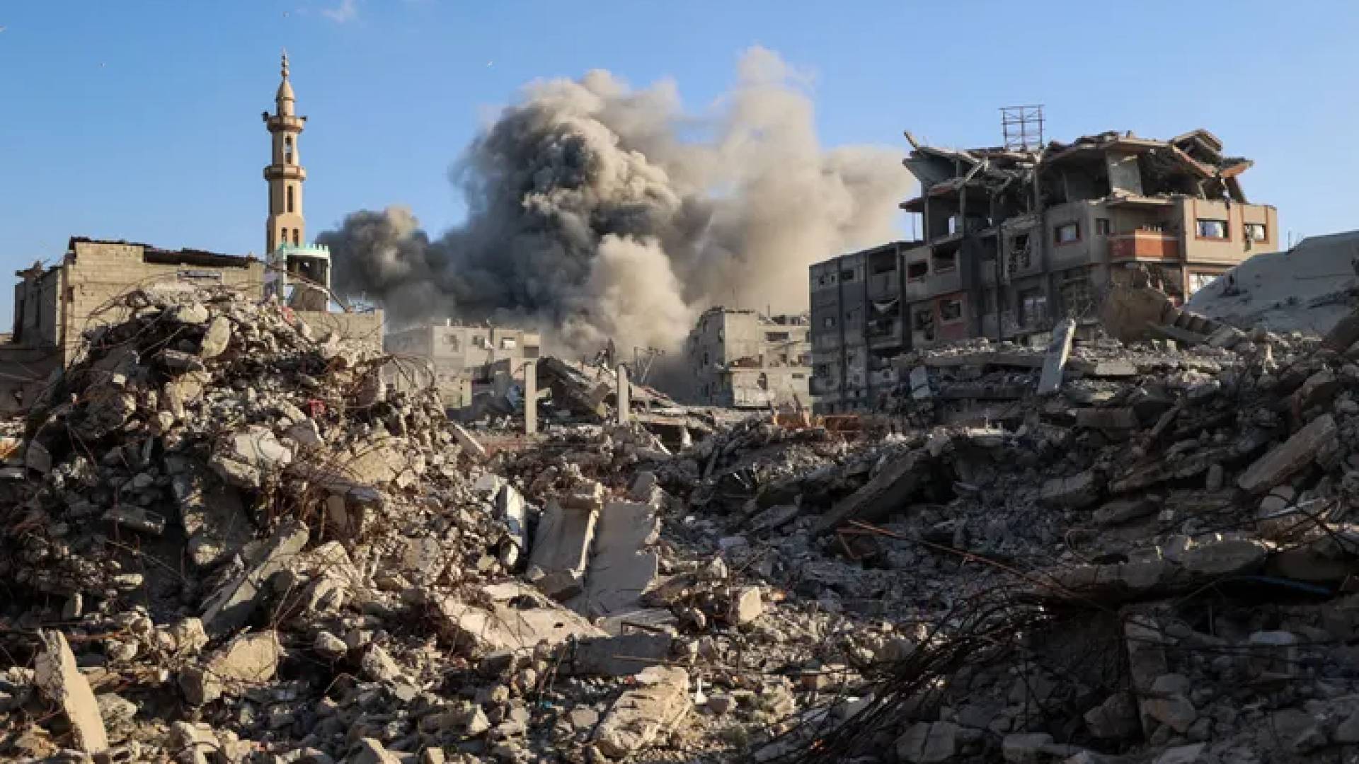
As for the central region, sources reported that control extended to include large parts of Al-Bureij and Al-Maghazi camps, which are located east of Salah al-Din Street. Military movements also included Al-Masdar village and Wadi Al-Salqa area east of Deir al-Balah, areas that were crowded with displaced people before turning into closed military operation zones.
Moving to the south, the Yellow Line is clearly visible at Bani Suheila roundabout in Khan Yunis, where the occupation army placed its construction markers before heading towards Abu Hamid roundabout. The path then curves to include the 'Al-Batan Al-Samin' and Jawrat Al-Lout areas, reaching the sea coast along the administrative borders of Rafah city, isolating large areas from their geographical surroundings.
Field maps confirm that most of the border city of Rafah is now effectively within the direct Israeli control within this line. Only a narrow coastal strip remains for Palestinians in the Mawasi Rafah area, which has become the last refuge for hundreds of thousands of displaced people facing catastrophic humanitarian conditions as a result of the complete siege.
The occupation expanded the 'Yellow Line' to include new neighborhoods, displacing tens of thousands towards a narrow coastal strip suffering from severe overcrowding.

Share your opinion
'Yellow Line' plan swallows 70% of Gaza's area, occupation squeezes displaced into narrow coastal strip