


Media sources and field investigations have revealed a recurring military pattern adopted by the Israeli occupation army in southern Lebanon, aimed at altering the geographical features of border villages. These operations begin with evacuation warnings and military maps, and conclude with widespread demolition and bulldozing operations that have affected dozens of towns, large parts of which have been reduced to rubble.
Southern Lebanese villages have witnessed massive explosions, with the occupation admitting in reports issued in early April that it used approximately 570 tons of explosives to demolish what it described as 'strategic tunnel networks'. These violent operations were concentrated around the towns of Qantara and Taybeh, in a clear violation of the declared de-escalation efforts during that period.
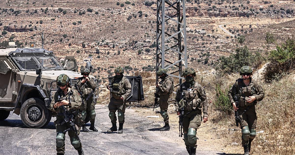
Field monitoring recorded the occupation issuing seven warnings affecting more than 50 Lebanese towns, with these threats recurring in areas that the Israeli army designated as a 'red zone' on its maps. The occupation follows a fixed mechanism that begins with intimidation through warnings, then drawing military maps, leading to field implementation through comprehensive demolition and bulldozing.
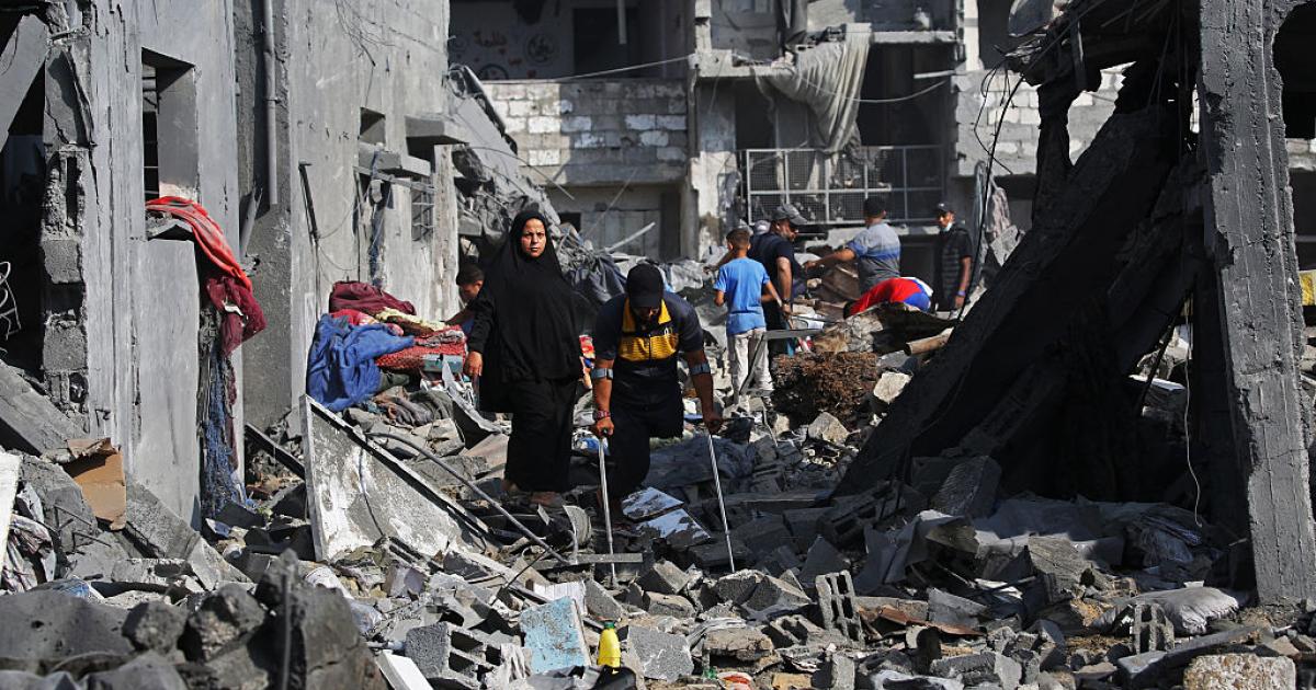
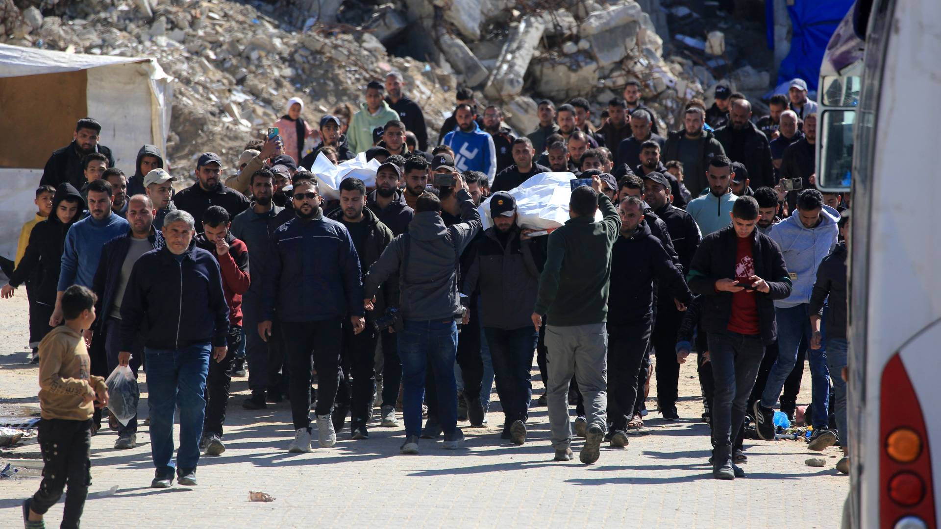
Systematic destruction operations continued to include the villages of Shemaa, Bayada, Bint Jbeil, Khiam, Beit Leif, Naqoura, Houla, and Kfarkila. Official estimates issued by the National Council for Scientific Research in Lebanon confirm that the extent of the destruction exceeded all expectations within short periods, reflecting a desire to make these areas uninhabitable.
According to statistical data, more than 400 homes were destroyed in the first three days of the supposed truce alone, while the total number of completely destroyed residential units in various Lebanese areas reached approximately 18,000 homes. Reports also indicate that more than 32,000 other residential units have been damaged since the outbreak of border clashes last March.
Precise analyses of video clips and satellite images showed that Israeli operations reflect a deliberate geographical expansion rather than random strikes. In the city of Bint Jbeil, sources documented the demolition of about 70 homes at once in mid-April, which led to the erasure of entire neighborhoods from the urban map of the historic city.
Images taken from inside Lebanese cities showed the extent of the destruction that affected vital civilian infrastructure, including schools, government buildings, and mosques. Investigation teams were able to accurately identify the locations of the explosions in the village of Ainata and around Bint Jbeil by matching geographical features visible in the clips broadcast by occupation soldiers.
The attacks were not limited to residential buildings but extended to energy infrastructure and public services, with surveillance cameras recording Israeli bulldozers destroying solar panel clusters in the village of Qouzah. The town of Khiam also suffered a series of extensive destruction operations that heavily targeted its western side.
In a move with symbolic and political implications, the occupation army demolished the stadium of Bint Jbeil, the site where the former Secretary-General of Hezbollah delivered a famous speech in 2000 after the Israeli withdrawal. Observers believe that targeting this specific location comes within the framework of an attempt to erase the visual and political memory of previous Lebanese victories.
Field data indicate that the occupation seeks to replicate the experience of the 'buffer strip' in the Gaza Strip and apply it to southern Lebanon. Analysis of the clips shows that the targeting is concentrated in a border strip extending from the Mediterranean coast in the west to the Syrian border in the east, with a depth of up to 8 kilometers in some areas.
European satellite images from 'Sentinel-2' reinforced this hypothesis, revealing intensive activity by the military engineering units of the occupation army. The images clearly show extensive bulldozing operations aimed at creating a militarily exposed area, devoid of inhabitants and urban features, along the northern border of the occupied territories.
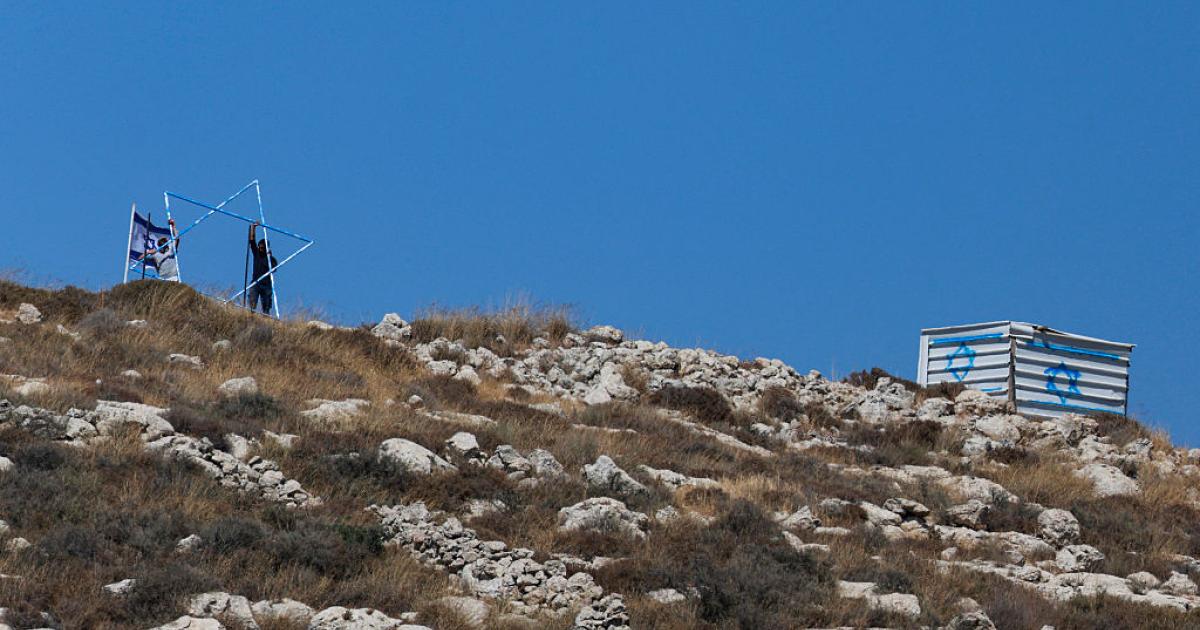
A new development emerged in leaked Israeli maps, where maritime zones and gas fields were included within the operational areas, including areas that had been allocated to Lebanon under the 2022 maritime border demarcation agreement. This indicates that Israeli ambitions extend beyond land borders to include Lebanese economic resources and maritime sovereignty.
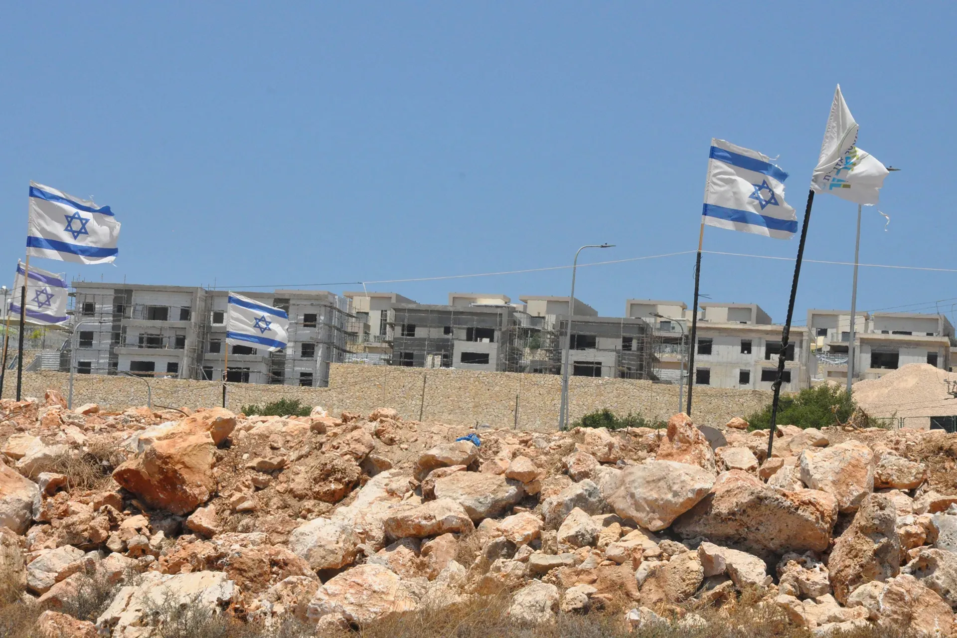
The current scene brings to mind the era of the Israeli occupation of southern Lebanon between 1978 and 2000, where the security zone currently being formed is similar to the former 'security belt'. It appears that the occupation is trying to impose a new field reality that prevents residents from returning to their villages and secures northern settlements through a scorched earth policy.
Finally, the demolition operations have changed the face of vast areas such as Kfarkila, Taybeh, Ayta ash-Shab, and Mays al-Jabal, where entire neighborhoods have been turned into hills of rubble. These systematic operations continue amidst international silence, threatening the loss of rights of thousands of Lebanese families to return to their homes and lands that have been bulldozed and leveled.
The targeting is concentrated on border villages within a strip extending 4 to 8 kilometers deep, in an extension reminiscent of the buffer zone in the Gaza Strip.
Share your opinion
Israeli plan to impose a buffer security zone in southern Lebanon through a 'scorched earth' policy