


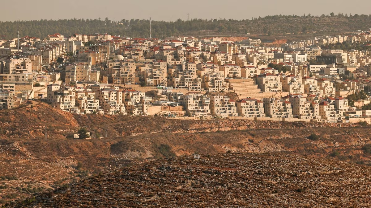
In a notable development that reveals a parallel agenda to the war on Gaza, the occupation army has begun implementing a broad military and engineering plan in the West Bank, aiming to reorganize its deployment to pave the way for securing inhabited areas by settlers estimated to be about twice the current areas.
The Hebrew newspaper "Yedioth Ahronoth" revealed on Sunday that the occupation government approved -under the cover of the world's preoccupation with the war- the establishment of 21 new settlements, in addition to 19 others still in the planning stages. The most prominent paradox in this plan is the return to settlements that were evacuated in 2005 as part of the "Disengagement Plan" announced by the former occupation Prime Minister Ariel Sharon, headed by the "Sanur" settlement, with similar preparations to legitimize and rebuild "Homesh", and possibly "Kadim" and "Ganim" in the north of the West Bank.
On the ground, military machinery has begun actual work in the northwest of the West Bank to create a new geographical reality by 2026, including:
Building bypass roads: Work is currently underway on building a road around the Palestinian village of Silat al-Dhahr (north of Jenin).
Permanent military sites: Establishing new military points to undertake the task of "securing" the returning settlements.
Monitoring technology: Enhancing intelligence capabilities by installing modern surveillance towers, and operating advanced radars and communication means, to ensure absolute security control.
The report described these moves as a "quiet settlement revolution," led by Finance Minister and the official responsible for the settlement file in the Ministry of Security, Bezalel Smotrich.
This plan aims to connect the isolated settlements (such as "Mavo Dotan" and "Reihan") to the depth of the West Bank, after they had been separated for many years and could only be accessed through 1948 lands, meaning the consolidation of the actual annexation of the lands of the north of the West Bank to the occupation entity.
The occupation government approved -under the cover of the world's preoccupation with the war- the establishment of 21 new settlements, in addition to 19 others still in the planning stages.


Share your opinion
Under the cover of war.. the occupation army redraws the map of the West Bank to "double" the settlements