


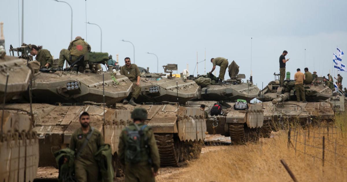
The occupied West Bank in 2026 is witnessing the peak of a 'spatial engineering' process that began in 1967, where the map is no longer merely disputed political borders, but has transformed into a stage for dismantling the Palestinian geographical fabric. The Israeli project aims to replace Arab geographical connectivity with a connected settlement control network, which has led to the transformation of Palestinian cities and villages into what resembles an 'archipelago' isolated amidst a sea of comprehensive Israeli control.
Ma'ale Adumim settlement, established in 1975 east of Jerusalem, is the cornerstone of what is known as the 'Eastern Shield'. The surrounding E-1 settlement project poses an existential threat to the possibility of a Palestinian state, as it aims to connect the settlement to Jerusalem, effectively isolating the holy city from its surroundings and completely separating the northern West Bank from its south.
Updated field data shows that the number of settlers in the West Bank, including East Jerusalem, has exceeded 780,000. These are distributed across 192 official settlements and more than 350 settlement outposts, as part of a 'pivot points' strategy aimed at severing connections between major Palestinian urban centers and transforming them into separate cantons.
Occupation authorities currently control about 42% of the West Bank's area through the settlement system and its affiliated regional councils. Areas classified as (C) stand out as a strategic reservoir for settlement, constituting 61% of the total area, where Palestinians are prohibited from building in 99% of it, while facilities are granted to settlers to establish farms and modern road networks.
Israel uses a system of legal designations as tools for soft control, where 15% of the West Bank's land has been converted into so-called 'state lands' exclusively allocated to settlers. Closed military areas also cover about 18% of the area, and are often used to evacuate Bedouin communities in preparation for their later conversion into permanent settlement blocs.
Between 2023 and 2026, an unprecedented settlement explosion occurred, in which the occupation shifted from official government settlement to 'field privatization'. 'Pastoral settlement' emerged as an offensive tool, with more than 165 pastoral outposts established since 2023, 89 of them in 2025 alone, controlling thousands of dunams under direct army protection.
This expansion was accompanied by the legalization of thousands of housing units through the advancement of 390 structural plans, transforming random outposts into legal towns connected to Israeli infrastructure. This infrastructure includes providing settlements with water, electricity, and fiber optic services, to enhance their functional and civilian integration within the Israeli entity, away from their previous military character.
Israel moved to the stage of 'administrative annexation' by transferring broad powers from the military's civil administration to civilian ministries. This shift means that the West Bank is no longer treated as occupied territory subject to the laws of war, but as a part managed through Israeli civilian bureaucracy, facilitating confiscation and construction operations without security or international legal restrictions.
Bypass roads represent the arteries that strangle Palestinian land, consuming 3% of the West Bank's area and creating sharp spatial separation. These roads force Palestinians to use isolated tunnels and bridges to move between their villages, while providing settlers with fast and safe movement connecting settlement blocs to cities within the Green Line seamlessly.
Settler violence transformed from individual behavior into a systematic functional tool to empty the land of its owners, especially in the Jordan Valley and Masafer Yatta areas. These attacks led to the displacement of at least 79 Bedouin and Palestinian communities, and the forced displacement of more than 4,700 people, replaced by settlers in pastoral outposts that change the demographic reality.
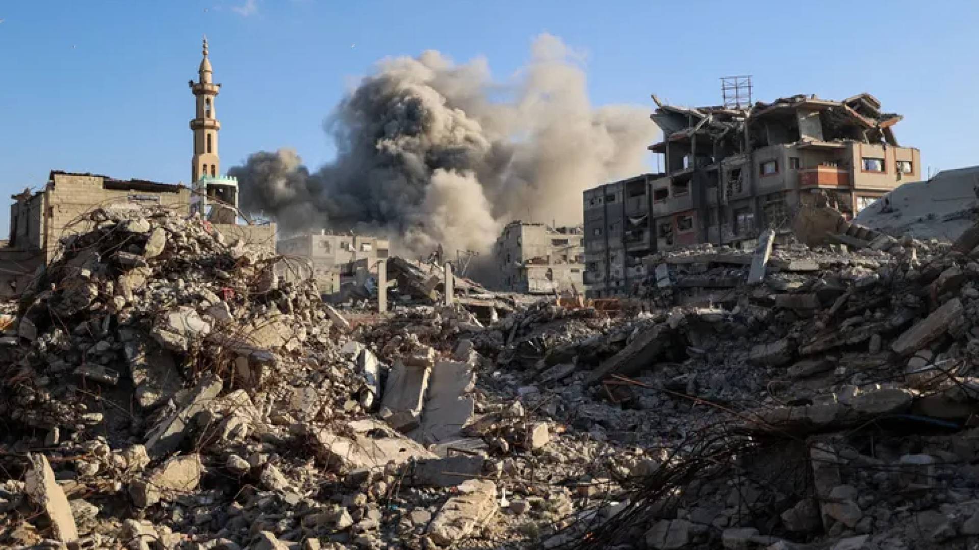
In contrast to settlement expansion, Palestinians face a fierce policy of demolition and constriction, with 2025 alone recording the destruction of 1,400 residential and agricultural structures. Also, 925 closure points and military checkpoints are spread across the West Bank, turning citizens' lives into arduous journeys that double travel time and hinder any possibility of normal economic or social growth.
Official sources, including Defense Minister Israel Katz, stated that areas like Jenin refugee camp will not return to their former state, in reference to escalating destructive military operations. These statements reflect the occupation's intention to undermine the elements of survival in the camps and cities that constitute centers of resistance to the accelerating settlement project in the northern West Bank.
The apartheid wall continues to play its pivotal role in isolating hundreds of square kilometers of fertile land and groundwater sources. With the completion of new sections of the wall in 2026, the isolation of occupied Jerusalem deepens, and control is tightened over the strategic corridors connecting the governorates of the homeland, ending the dream of geographical connectivity.
On the fiftieth anniversary of Land Day, data shows that the conflict has transformed into a direct battle for physical existence on the land. Israeli 'fragmentation engineering' aims to prevent the emergence of any independent Palestinian entity, and to transform national political rights into mere humanitarian issues for residents living in isolated islands within an ever-expanding settlement environment.
The term 'settlement expansion' is no longer sufficient to describe the scene, as we are facing a reality of spatial resolution and the transformation of Palestinian geography into an archipelago of isolated islands.


Share your opinion
The Engineering of Fragmentation: How Israel Transformed the West Bank into an Archipelago of Isolated Islands?